2021—present
Ph.D. in Geography
Clark University · Worcester, Massachusetts
About
I am a geographer working at the intersection of remote sensing, environmental science, and spatial data analysis.
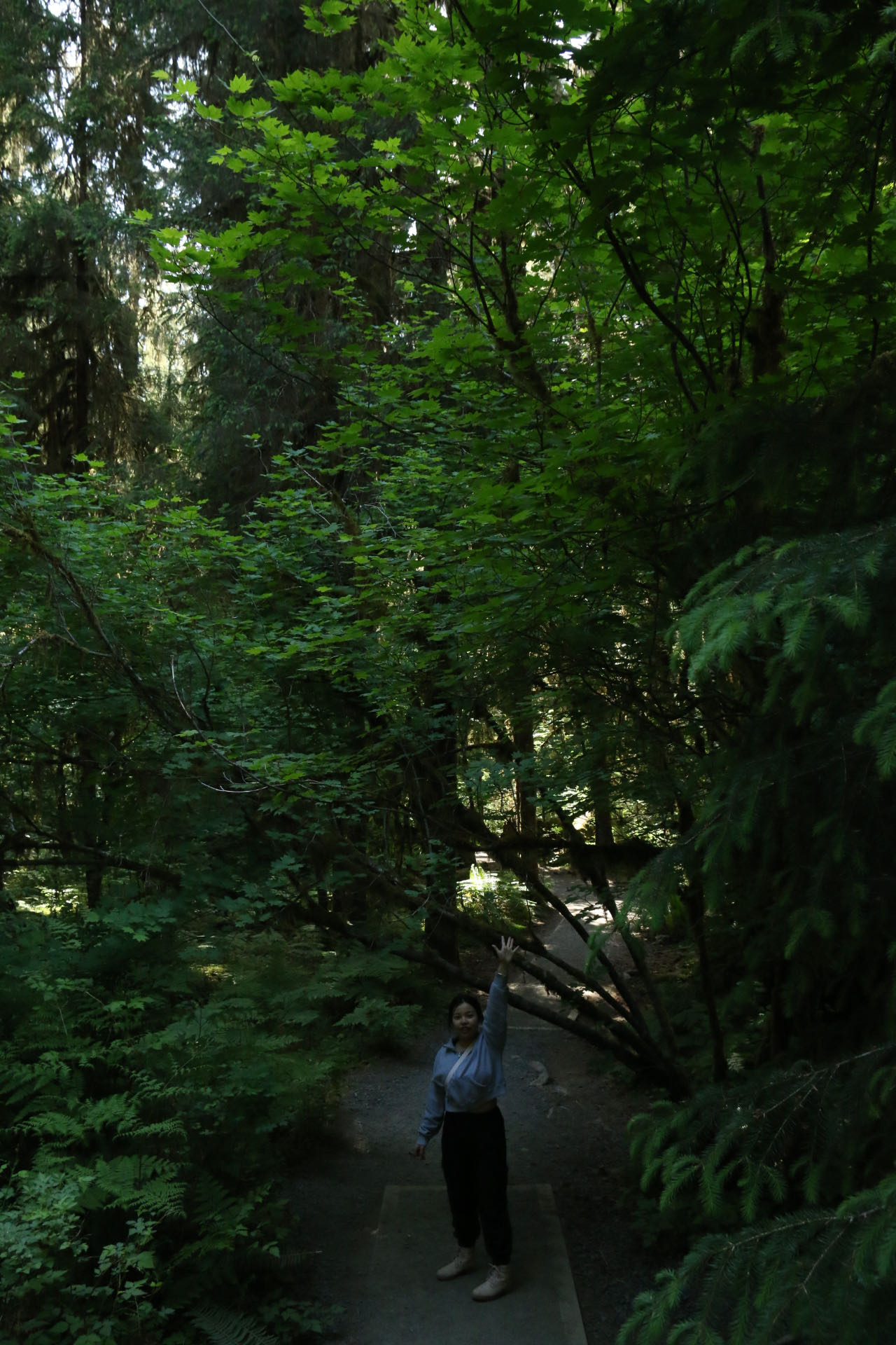
My work uses satellite observations and spatial models to understand patterns that are difficult to see from any single vantage point. I am particularly interested in urban environments, landscape epidemiology, climate variability, and conservation.
Across these topics, I care about making analytical results legible: through clear maps, interactive tools, reproducible workflows, and evidence that can support real decisions.
Experience
2021—present
Clark University · Worcester, Massachusetts
2020—2021
Division of Environment and Sustainability, Hong Kong University of Science and Technology
2019—2020
Hong Kong University of Science and Technology
2017—2019
Teach For China · Dali, Yunnan
2013—2017
Fujian Normal University · Fuzhou, China
Methods & tools
ArcGIS · TerrSet · Google Earth Engine · Remote sensing · Cartography
Python · R · Spatial statistics · Time-series analysis · Model evaluation
Interactive visualization · Research posters · Technical writing · Teaching
Connect
I’m always glad to hear from people working with spatial data, environmental questions, or research communication.